Aim the visit at the parcels that were wet outside their window.

Irrigated Area Mapping reads a seasonal satellite pass over your basin and tells you which licensed parcels were irrigated and roughly when. Parcels showing irrigation outside their allotment window come back as a flag list, so the next compliance visit starts from the list and not from a drive round the catchment.

GSD
Wide / 10–30 m
Cadence
Seasonal
Platform
Wide-swath satellite
Spectral
Multispectral
Schematic, not a sample. Licensed parcels in a basin: the green ones were seen irrigated inside their window, the two hatched ones outside it.

The job today

How the visit list gets made

Come the irrigation months, the visit list is built from what you already hold. The licence register says who may take water and when. The returns say what holders told you they took, and they arrive after the fact. A neighbour rings about a pump running at night. A low-flow alert goes out and you start working out who is upstream. Metered take, where a meter exists, is read afterwards and tells you about a quantity, not about the week it happened.

So the list is mostly paperwork and complaints, and you are one officer with a vehicle and a basin to cover. A parcel irrigating before its window opens, or well after it shuts, may never reach the list at all. Nobody rang about it, and the return doesn't say. You find it when you happen to drive past and the field is wet.

This service gives you a second way to build the list. It reads the season from orbit, parcel by parcel, and flags the ones that look out of line. The returns, the meters and the visit itself stay as they are.
What you get

What lands at the end of the season

One delivery per season for your basin, in files a GIS opens.

  1. 2.1Irrigated-area layerGeoPackage or shapefile

    Each licensed parcel you send, with its irrigated extent for the season and the rough dates irrigation was seen. It is a standard GIS file you can open beside your licence register.

  2. 2.2Compliance flag listCSV

    Parcels showing irrigation activity outside their licensed allotment window, with the licence reference you supplied, the dates seen and the window it was compared to. This is the list you plan visits from. It is a screening list and says nothing about volume.

  3. 2.3Season recordSeason archive

    The layer from each season kept together, so a parcel's history sits in one place and you can see whether the same parcels come up year after year.

  4. 2.4A note on the passPass note

    Which imagery dates were used and which parts of the basin sat under cloud, so you know how firm the timing is for each parcel.

How it works

From the licence register to the visit list

  1. 1 Before the season

    Send the basin and the parcels

    Your basin boundary, the licensed parcel boundaries and the allotment window for each licence.

  2. 2 Through the season

    We source the seasonal pass

    A wide-swath multispectral pass over the basin, using the clearest views available in the season window.

  3. 3 Season end

    Classification and time series

    Imagery across the season is analysed for each parcel: irrigated or not, and when it changed.

  4. 4 After the season

    Layer and flag list come back

    The irrigated-area layer, the flag list and the pass note. The visits, and what you conclude from them, stay with you.

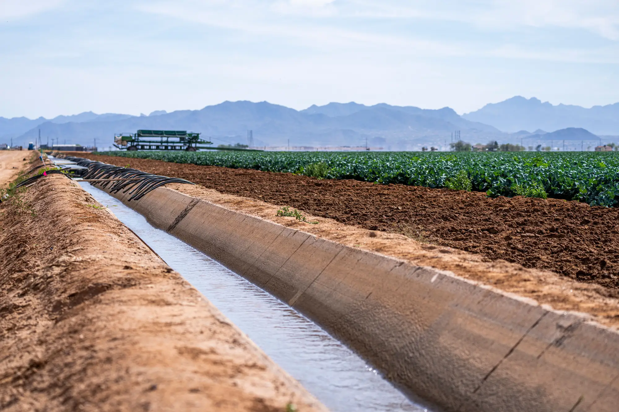
A concrete-lined irrigation channel running beside a cropped field, mountains in the distance

Limits

Limits

  1. Extent and timing, not volume

    The service reads which parcels looked irrigated and roughly when. It does not measure how much water was taken. Your meters and returns still hold the volume.

  2. A flag is a reason to look, not evidence

    A flagged parcel is one worth a visit. On its own the flag is not field evidence, and nothing in the delivery is written to stand alone in a case.

  3. Small parcels may not resolve

    At 10–30 m a pixel covers a lot of ground. A parcel only a few pixels across may blur into its neighbours and not read as its own. Small plots and narrow strips are where this will miss.

  4. Seasonal, and cloud shifts the dates

    We deliver per season, not within it. If cloud covers a parcel across the window, the best clear pass is used and the timing moves, which the pass note records.

  5. Boundaries come from you

    The flags are only as good as the parcel boundaries and windows you send. A licence with the wrong window on file will flag wrongly.

Who it's for

Who it's for

Who gets the most from it

  • Compliance officers at a river basin regulator who plan site visits across licensed parcels.
  • Licensing and allocation teams who want a basin-wide irrigated-extent picture each season.
  • Teams reviewing licences who want a seasonal record to read alongside the returns.

Who it isn't for

  • Teams that must have a metered abstraction volume.
  • Teams that must have evidence that stands up on its own without a visit.
  • Teams that must see irrigation as it happens, or on plots below the 10–30 m pixel.

FAQ

Questions from licensing and compliance teams

Does it measure how much water was abstracted?

No. It identifies irrigated extent and roughly when, from imagery. Volume stays with meters and returns.

Is a flag enough to take action against a licence holder?

No. It is a screening layer that tells you where to send the visit. What you do after the visit is your call and your procedure.

How do we check it against what we know?

Take a handful of parcels whose irrigation you already know about from returns, meters or earlier visits, and see how the layer reads them. If something looks wrong, send it back and we will go through that parcel's imagery with you.

How small a parcel can it see?

The imagery is 10–30 m per pixel. Larger parcels are less affected. Small plots and narrow strips may not resolve individually, and the pass note will not rescue them.

How current is it?

Seasonal. You get the season's picture after the pass, not a running view during it.

What happens when it is cloudy?

We use the clearest pass available in the season window. That can move the timing for a parcel, and the pass note says where.

What do you need from us?

The basin boundary, licensed parcel boundaries and allotment windows. A GIS export of your licence parcels is what we would ask for first.

Will it plug into our licensing or case system?

There is no direct integration. The files open in a GIS and the flag list is a CSV.

Who owns the outputs?

Your boundaries and licence data stay yours. Rights over the outputs and the imagery behind them get written into the agreement before the first season runs.

How is it priced?

It depends on the size of the basin and the number of seasons, so we quote after seeing the area. There is no price list on this page.

Send us the basin before the irrigation season opens.

Share the basin boundary and your licensed parcels, and we will scope the seasonal run from there.

Get started