Blog
16 November 2026
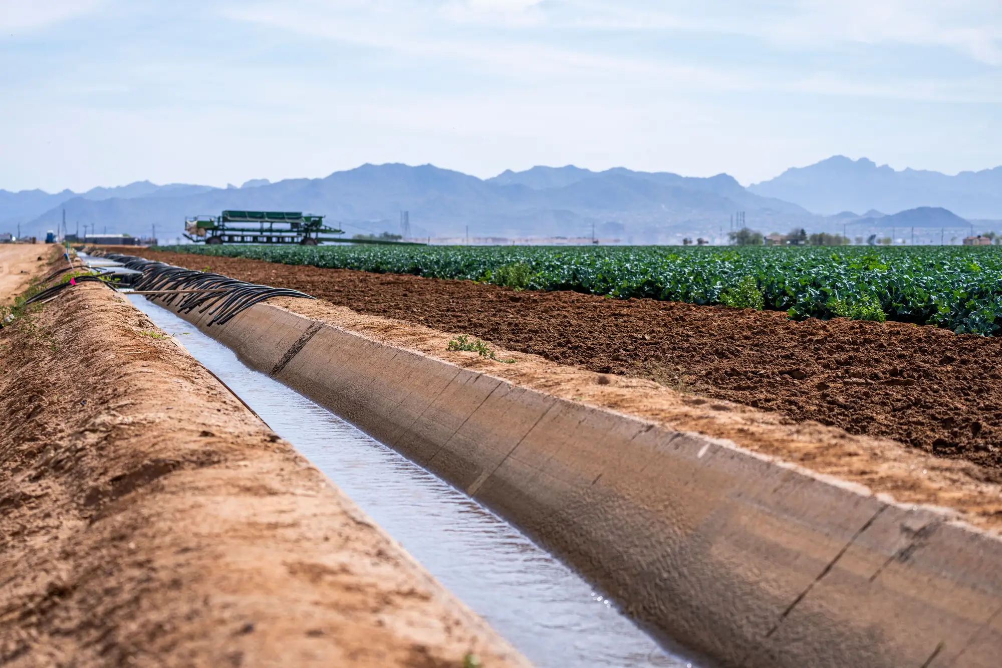
Field notes: the ditch rider who still beats the satellite to the first call
A compliance officer's field notes on why the ditch rider still wins the first call, and where a seasonal irrigation layer actually fits in the basin.
16 November 2026
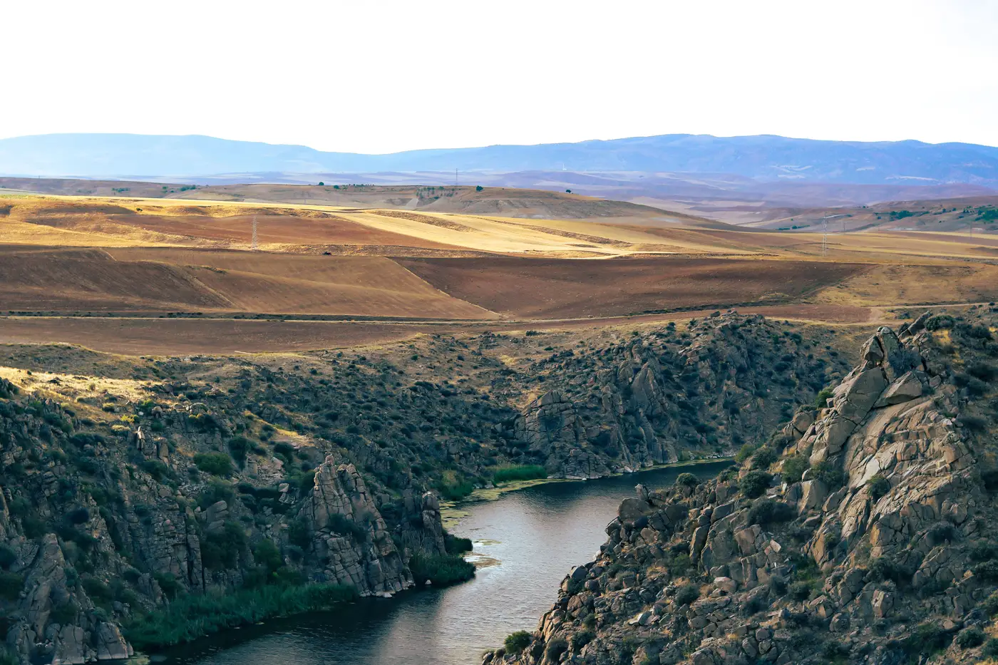
What return flow is and why it complicates a diversion case
Return flow is water that comes back to the stream after a diversion. That one fact turns a simple diversion compliance review into an argument.
9 November 2026
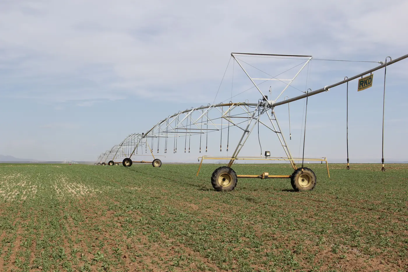
What a decree caps: acreage, not just volume
A plain explainer on how an adjudicated water right decree sets an acreage cap, and why that number matters more than most officers think.
9 November 2026
Place of use vs. point of diversion: what the permit controls
A compliance officer's guide to point of diversion vs. place of use: what each term controls on a permit, and why mixing them up misdirects a case.
2 November 2026
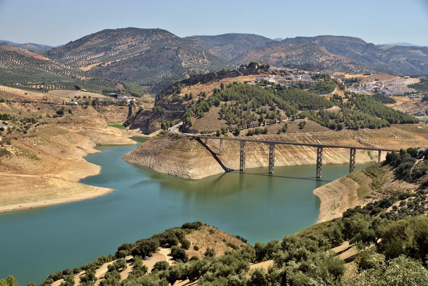
Field notes: the dry year every allotment holder cut back and the baseline barely moved
A dry-year puzzle every basin office knows: every holder reported cutting back, yet the basin baseline hardly shifted. Here's where the gap usually hides.
2 November 2026
Canal-fed vs. groundwater: reading the difference in satellite imagery
How to spot canal-fed irrigation signatures versus center-pivot groundwater pumping in satellite imagery, and why it matters for allotment checks.
26 October 2026
How to tell irrigated land from rainfed cropland in satellite imagery
What actually distinguishes irrigated parcels from rainfed fields in a satellite time series, and why the timing matters more than the color.
26 October 2026
What counts as irrigation activity in a seasonal satellite pass?
A field guide to what a seasonal satellite pass detects as irrigation activity, and where that signal stops short of a metered record.
19 October 2026
Field notes: the parcel that irrigated three weeks early
A field-notes look at the early-green parcel: what it means when irrigation shows up weeks before a license window opens, and how to screen for it.
19 October 2026
How to spot out-of-season irrigation in satellite imagery
A field guide for compliance staff: how to read a seasonal imagery pass against a permit's allotment window and catch irrigation outside licensed dates.
14 October 2026
Deficit irrigation vs. no irrigation: what a seasonal pass actually shows
A parcel that greened up isn't the same as one that hit its allotment. How to read deficit vs. zero irrigation in a seasonal satellite pass.
14 October 2026
What a call on the river means for compliance timing
What a call on the river means, how senior vs junior enforcement works, and why curtailment timing is where most compliance disputes start.
13 October 2026
Pivot vs. flood irrigation: telling them apart in satellite imagery
How center pivot and flood irrigation show up differently on a seasonal pass, and what each signature means for a compliance screen.
13 October 2026
What counts as the irrigation season under a water sharing plan
How water sharing plans define the irrigation season, why start and end dates vary by plan, and what it means for compliance screening.
7 October 2026
ET estimates vs. metered diversion records: reading the gap
How ET-based water use estimates differ from metered diversion records, and what a mismatch between the two tells a compliance officer.
7 October 2026
How to prove non-use of a water right from satellite imagery
What a forfeiture file needs, what a seasonal satellite record can show, and where it stops short of proving abandonment on its own.
7 October 2026
Allocation vs. actual acreage: how to read a water year right
How to reconcile a water year's licensed allocation against actual irrigated acreage, and where the two numbers are allowed to differ.
7 October 2026
What counts as beneficial use under a water right
A plain look at the beneficial use standard for irrigation, the use-it-or-lose-it doctrine, and why it's hard to verify from a license file alone.