7 October 2026
ET estimates vs. metered diversion records: reading the gap
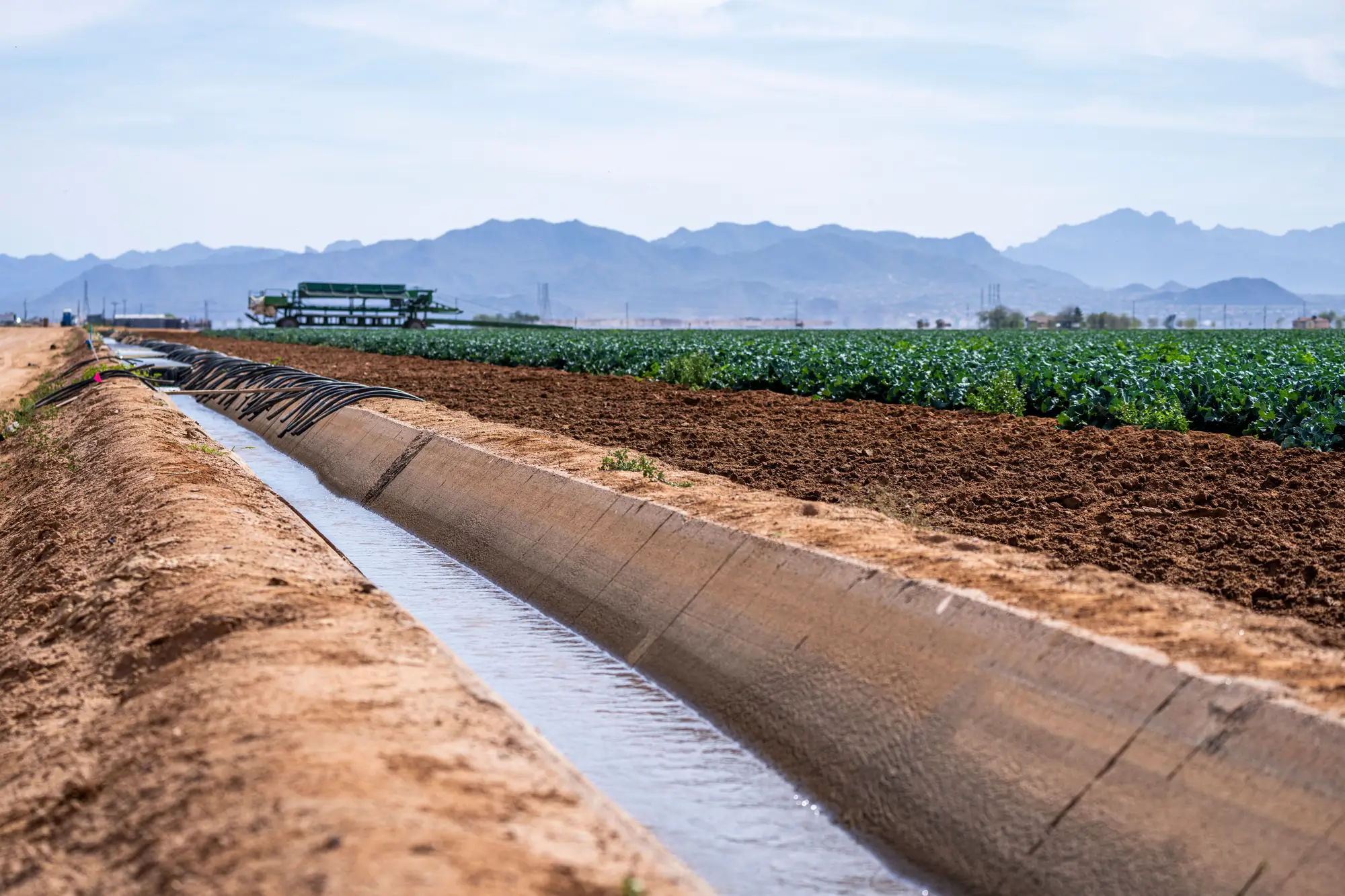
A diversion meter tells you what went through the headgate. An ET estimate tells you what the crop actually consumed. Compliance staff reach for both when a volume on paper doesn't match what the aerial imagery or a neighbor complaint suggests, and the two numbers rarely line up exactly. Knowing why they diverge matters more than knowing which one is "right."
What a metered diversion record measures
A diversion record is a point measurement. A propeller meter, flume, or acoustic sensor sits at the intake and logs flow past that one point, usually in acre-feet or cubic feet per second over a reporting period. It's the closest thing to a legal volume your office has, because it's tied to the license and it's what the water right holder is required to report.
It's also only as good as the hardware and the reporting habit behind it. Meters drift out of calibration. Screens clog and throw false low readings. Some older rights were never fitted with a meter at all, and the holder self-reports an estimate based on pump hours or acreage. None of that shows up as a flag on the record itself. It just reads as a number, and the number can be wrong for reasons that have nothing to do with how much water left the river.
What an ET-based water use estimate shows instead
An ET-based water use estimate comes from a different direction entirely. Instead of measuring water at the diversion point, it estimates how much water left the crop canopy and soil surface as evapotranspiration, calculated from satellite surface temperature and reflectance combined with weather station data. Models like METRIC and SSEBop, and aggregator platforms built on them, turn that into a depth of water consumed per field, per period.
That number answers a different question than the meter does. It tells you what the crop used, not what was diverted to get it there. The gap between the two is real and expected: conveyance loss in an unlined ditch, tailwater that returns to the river downstream, water applied to frost protection or pre-irrigation that never shows up as crop consumption in the same month it was diverted. A field can show modest ET and still have pulled a full allotment through the headgate that season, and that's not automatically a violation.
Where the two numbers disagree, and what that's worth
A mismatch between the metered record and the ET estimate is a lead, not a verdict. If a parcel's licensed diversion window runs April through September and the ET signal shows active crop water use in late October, that's worth a look regardless of what the meter log says for that month. If a field is metered for 40 acres and the ET estimate reads canopy water use consistent with closer to 60, you've got a question for the license file, not necessarily an enforcement action. It could be an unpermitted well supplementing the surface right, a crop change that wasn't reported, or a boundary that's drifted since the last survey.
The reverse case matters too. A right holder pulling steadily on the meter but showing flat, unirrigated ET most of the season isn't a priority for a site visit, even if the paperwork looks unusual. ET gives you the seasonal shape of water use across a basin's parcels without sending a field crew to every license on the books before you know where to look. A seasonal irrigated-area layer that flags parcels against their licensed allotment window narrows that list to the ones worth the drive, built from the same kind of wide-swath pass that underlies most ET products, just aimed at the compliance question rather than the consumptive-use number.
Using ET for crop water use verification without overstating it
None of this makes an ET estimate a substitute for the metered record in an enforcement file. It's a modeled depth, run through assumptions about crop type, canopy cover, and local weather station placement, and it will carry error that a calibrated meter reading doesn't. Treat it as what it's built for: a way to see which parcels across a basin are showing irrigation activity, and roughly when, so you can decide where a field visit or a records request is worth your office's time. Pair it with the meter log, not instead of it, and the discrepancy between the two becomes a working lead rather than a loose end.
If you're trying to cut down the number of parcels you check before the season closes out, that's exactly the gap Irrigated Area Mapping is built to narrow.