16 November 2026
Field notes: the ditch rider who still beats the satellite to the first call
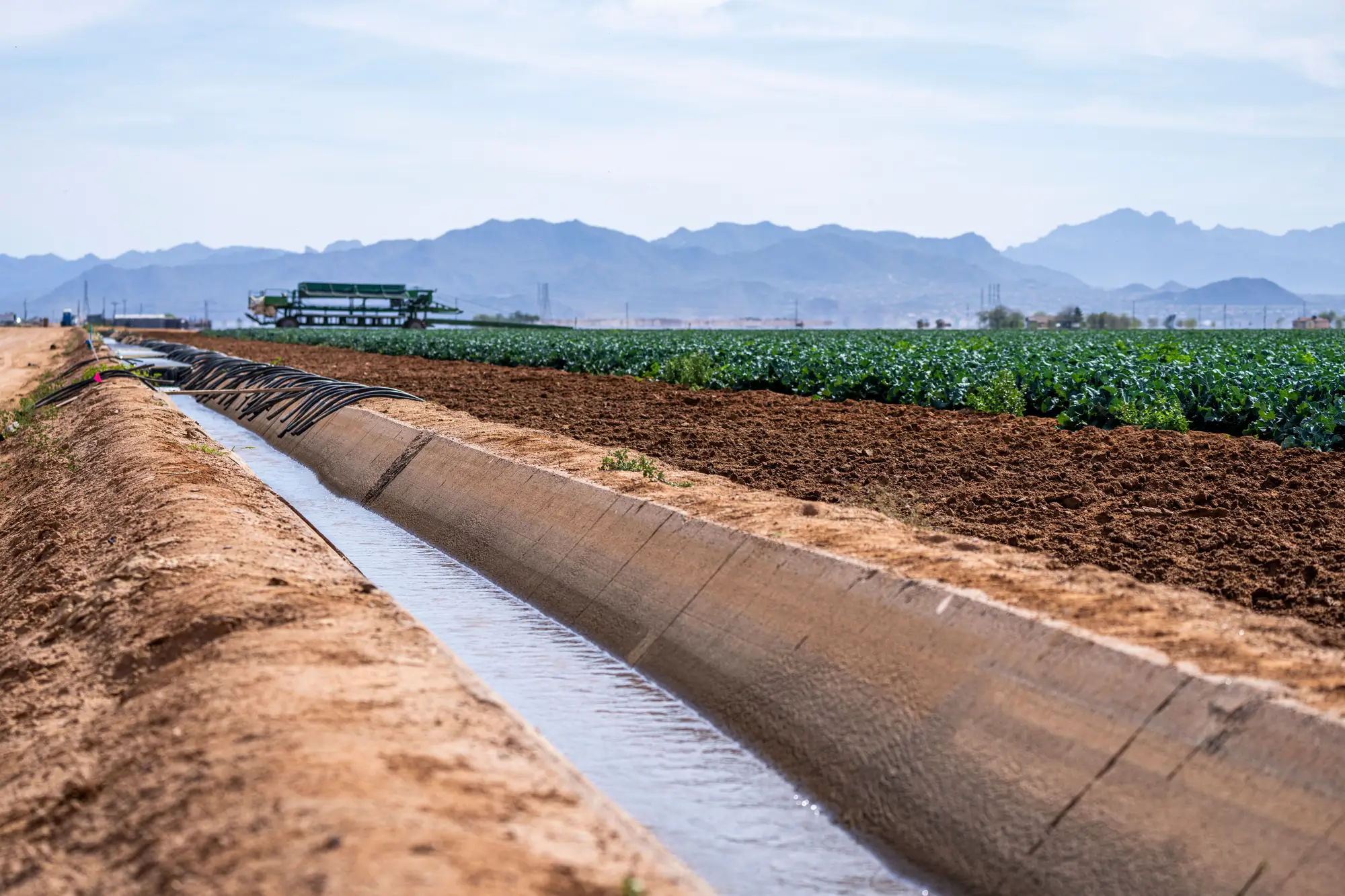
Earl's been riding the same stretch of canal for eleven years. He knows which headgate sticks, which farmer waters a day early every cutting, and which turnout has a leak nobody's reported. Last month he called in a parcel running outside its window two days after it started, just from the color of the alfalfa and a truck parked where it shouldn't be. No pass, no processing, no wait. Just a guy who's seen that field in July for a decade.
That's the thing nobody tells you when they pitch you a new monitoring layer: the person who already knows the basin by truck window is faster than almost anything you can buy. Earl doesn't need a revisit cadence. He drives the ditch twice a week anyway, and he's building a mental model of normal that updates every single pass he makes, in real time, and nobody has to put it in next year's budget.
A seasonal wide-swath product earns its place on the parcels Earl never gets to: two sub-basins over, the allotments nobody's assigned a rider to this season because the budget's thin and the priority list got longer than the staff. Earl covers maybe forty miles of canal well. The basin has a few hundred licensed parcels on it. The gap between those two numbers is where a compliance program loses ground.
There's also the question of what Earl's good at and what he isn't. He's good at catching the parcel that's obviously wrong, the green field in a brown month, the truck in the wrong driveway. He's not going to remember, without pulling files, which of the forty parcels on his route had a documented allotment window that closed in late August versus mid-September, or which neighbor's license got amended last year. A seasonal layer that lines up observed greenness against the licensed window for every parcel in the basin handles that filing-cabinet part: which window closed when, and which parcels show water outside it.
Worth saying plainly: a pass every week or two misses a lot that a ditch rider catches just by driving the route. A two-day irrigation event that starts and stops between overpasses won't show up in the imagery, and it shouldn't be sold like it will. What a seasonal pass catches is the pattern across the season: which parcels show water on the ground outside their allotted window, often enough and long enough to matter, across a basin too big for any one rider or inspector to cover on foot or by truck. That list points an inspector toward a parcel. Writing the notice still takes a file, a visit, and a signature.
If you're running compliance on a basin where the rider network thinned out a few seasons back, or where half your licensed parcels haven't had an inspector boots-on-ground in longer than anyone wants to admit, the honest use for a tool like this is giving him, and the other two inspectors covering a basin built for six, a ranked list instead of a windshield tour. We put together a short page on how the seasonal layer and the flag list work against licensed allotments at irrigatedareamapping.com, built for exactly that gap.
Earl's still going to beat us to the call on his own forty miles. Nobody's arguing that. Most basins run short on rider-days long before they run short on licensed parcels, and the real risk is how many of those parcels go unridden all season without anyone noticing until the next one starts.
If your basin has more licensed parcels than it has riders to cover them, see what the seasonal flag list would have caught this season.