2 November 2026
Field notes: the dry year every allotment holder cut back and the baseline barely moved
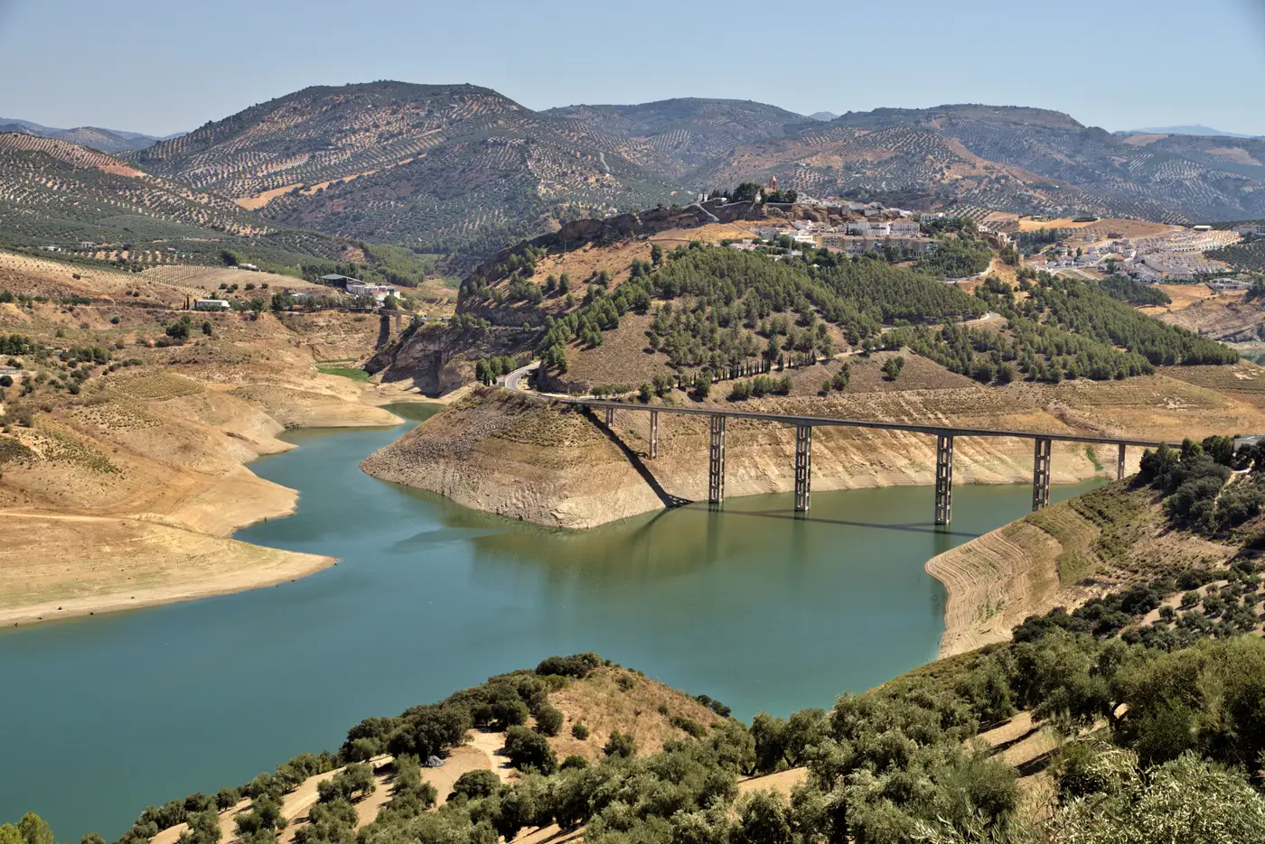
Every basin office has a version of this year in its files. Snowpack came in low, the drought declaration went out in March, and by June the calls were already starting. Allotment holders did what they were supposed to do. Letters went out, voluntary reduction pledges came back, a few operations fallowed ground they'd normally plant. On paper, it should have been a quiet year for the baseline. It wasn't.
The basin-wide diversion total that season came in only a few points under the five-year average. Not the drop you'd expect from a basin where, by every account, people were cutting back. We spent most of that fall trying to figure out whether the pledges were honest, whether the gauge network had drifted, or whether something in the accounting just didn't reconcile with what was happening on the ground.
It turned out to be none of those things, and all three at once in a smaller way.
The reductions were real. Most of the basin's larger allotment holders did cut acreage, and the gauge data backed that up where we had gauges that mattered. But a basin baseline is an aggregate, and aggregates are forgiving of a handful of outliers. A dozen smaller parcels, mostly ones that had never drawn much scrutiny because their licensed volumes were modest, kept irrigating on something close to a normal-year schedule. Individually, none of them moved the number. Together, they were enough to flatten what should have been a visible dip.
That's the part that's hard to see from a flow record or a self-report. A basin total tells you what came out of the river. It doesn't tell you which fourteen parcels out of four hundred were the reason the total didn't move the way the drought declaration said it should. You can sense something's off in the aggregate number, but turning that sense into a short list of parcels worth a visit used to mean either a full-basin field campaign nobody had the staff for, or waiting for a complaint to point you at a single property and hoping it was the right one.
What eventually got us there that year was going back through a season's worth of imagery parcel by parcel, which took most of what was left of the field season and still missed the first cutting window on two of the fourteen. Looking back, we'd have had that list in days instead of weeks if we'd had a seasonal irrigated-area read running underneath the gauge data the whole time, not just as a reaction to a baseline that wouldn't behave. We've started asking what a seasonal pass over the basin, read against each parcel's licensed allotment window, would have looked like laid against our own numbers that year, and whether it would have flagged those fourteen parcels before the season was half over instead of after. That's roughly the shape of what a tool like Irrigated Area Mapping is built for: a seasonal irrigated-area layer per parcel, checked against when a license actually permits water, so the handful of outliers in a flat baseline don't hide in the aggregate for a whole season.
None of this makes the self-reports useless, and it doesn't replace a metered record once you've narrowed the list. What it would have changed is the order of operations. Instead of starting from a basin number that wouldn't drop and working backward through every parcel file to explain why, you'd start the season already knowing which allotments were showing activity outside their window, and spend the field days that matter on those addresses instead of on a basin-wide hunt.
The dry year will come again. The baseline will do something unexpected again too, because aggregates always smooth over the handful of parcels doing something different than the rest. The only real question is whether you find out which parcels those are in week three or week twelve. If you're tired of that question arriving twelve weeks late, it's worth seeing what a seasonal parcel-level read looks like against your own allotment list.