7 October 2026
How to prove non-use of a water right from satellite imagery
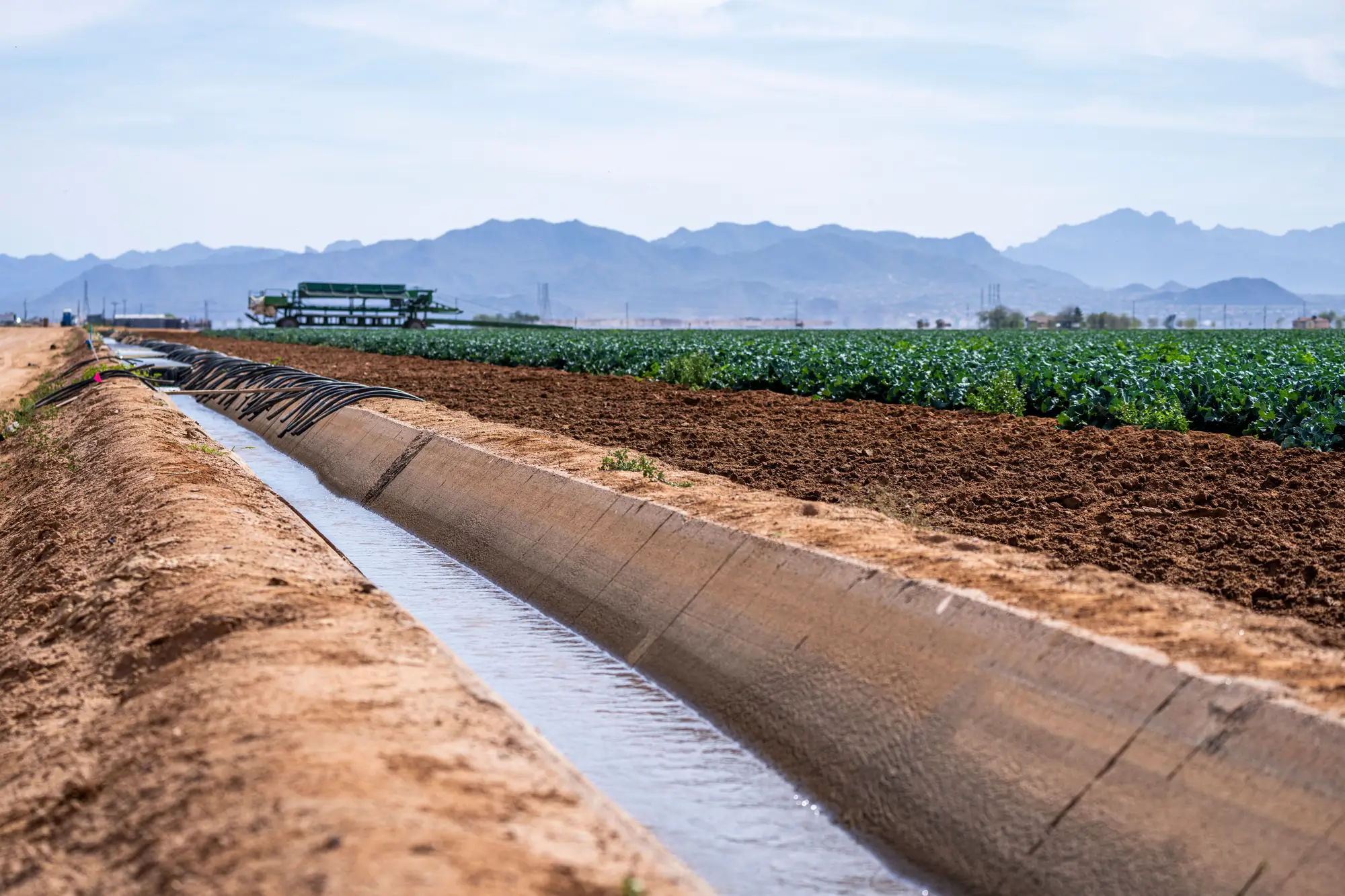
Most forfeiture statutes turn on one plain question: did the right holder put water to beneficial use during the statutory period, or didn't they. Five years is common. Some states run longer. Either way, the burden usually lands on whoever is alleging non-use, and until recently that meant old aerial photo orders, a ditch rider's memory, or a site visit scheduled months after the irrigation season already closed.
A seasonal satellite record changes the timeline on that, not the legal standard. It gives you a parcel-by-parcel look at whether a field greened up during the growing season, across however many years the statute requires, without waiting on a flight line or a field crew's open afternoon.
What a forfeiture file actually needs
A non-use case generally rests on three things: a defined statutory period, continuous non-use across that period, and the absence of a recognized excuse (an approved conservation practice, a drought curtailment, a documented water-short year the agency already declared). A satellite record speaks to the second one. It shows, season by season, whether the place of use tied to the right carried an irrigated crop signal or sat bare.
It does not rule on excuses. A field with no irrigation signal for three years could be forfeiture. It could also be a rotation into dryland pasture, a lease dispute that kept a tenant off the ground, or a year the crop failed after planting and never developed canopy. The imagery tells you the field was quiet. A hearing officer is going to ask why before anything else, and the imagery alone won't answer that.
Building the record, season by season
The useful version of this is a stack of seasonal passes, one per growing season across the forfeiture window. Read each pass against the parcel boundary tied to the point of diversion and place of use on the right itself, since a county assessor's parcel line often doesn't line up with it. Where a parcel shows no irrigated-area signal across consecutive seasons, that's the flag worth pulling into the file. Where the signal is patchy, part of the field greening some years and not others, that's worth a closer look before anyone writes "abandoned" in a report.
This is also where cross-referencing matters. A diversion record showing no measured withdrawal during the same years makes the imagery corroborating rather than standalone. A permit file with an approved temporary transfer or a conservation easement on part of the acreage changes what "non-use" even means for that parcel. The satellite record is one input among several, strongest when it lines up with what the paper file already says.
Where it holds up, and where it doesn't
In practice, a multi-season record built on a consistent method holds up well as screening evidence: it narrows a basin-wide question down to a short list of parcels worth a site visit, and it gives an investigator a documented reason to prioritize one file over another instead of working the list in filing-date order. Irrigated Area Mapping was built around exactly that narrowing step, reading a seasonal wide-swath pass against licensed allotment windows so a compliance team can see which parcels are worth a visit before anyone drives out.
What it isn't is a metered volume record or a legal finding. It won't tell you how many acre-feet moved, and it won't establish the excuse question a forfeiture hearing turns on. The seasonal layer gets a parcel onto the inspection schedule. Closing the file still takes the diversion records, the water master's notes, and whatever excuse the right holder raises at hearing.
If a non-use question is sitting in your basin right now, pulling a seasonal flag list first is a faster way to find out which parcels are worth the drive.