7 October 2026
Allocation vs. actual acreage: how to read a water year right
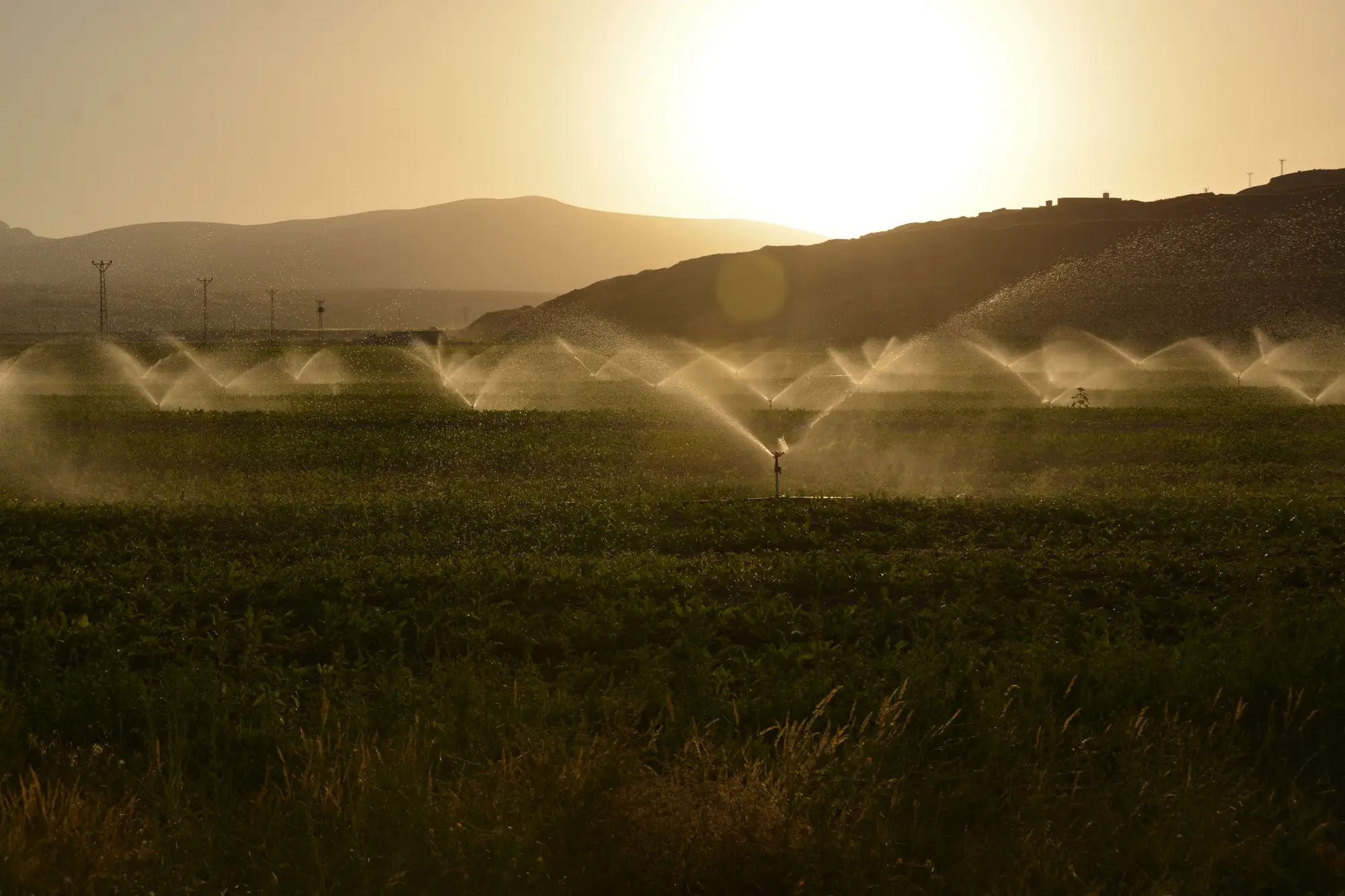
A water year allocation is a number on a ledger. So many acre-feet, tied to a priority date, tied to a point of diversion, set before the season starts based on snowpack or reservoir carryover. Actual irrigated acreage is a different thing: it's what happened on specific parcels, week by week, once the headgates opened. Reading one against the other is the basic move of seasonal compliance work, and it trips people up more often than it should, mostly because the two records don't come from the same place and don't update on the same clock.
What the allocation number measures
The allocation is an entitlement, not a use record. It tells you the maximum a right holder could draw under their class of right and the year's supply conditions. It says nothing about whether they actually drew it, when they drew it, or which fields it went onto. A full allocation can sit next to a half-irrigated field if a grower fallowed ground, leased water downstream, or had a crop failure early in the season. None of that shows up in the allocation table. It only shows up in the field.
This is the part that catches new compliance staff: a parcel's allocation can look completely clean on paper, licensed volume matches historical use, nothing flagged, while the irrigation pattern underneath it is nowhere near what the license describes. The allocation tells you what was permitted. It doesn't tell you what was done.
What "actual irrigated acres" means for a given water year
Actual irrigated acreage is a seasonal record: which parcels showed green-up, roughly when it started, roughly when it stopped, and how that stacks up against the licensed allotment window for that right. A right licensed for April through September irrigation that shows activity in November isn't matching its own paperwork, regardless of whether the total volume stayed under cap. A parcel licensed for 80 acres that shows irrigation activity across 110 acres has a different problem. Both of those are acreage-and-timing questions that sit outside what a diversion meter or an annual use report will tell you on its own.
Reconciling the two without walking the whole basin
The reconciliation itself is simple in concept: pull the water year's licensed allotments, parcel by parcel, and compare them to what got irrigated and when. The hard part has always been the "actual" side. Field visits cover a handful of parcels a season. Self-reported use data is only as good as the reporting. Most basins don't have the staff to check acreage against license terms for every right holder every year, so the reconciliation either doesn't happen at the parcel level or it happens on a sample that misses the parcels that matter.
A seasonal wide-swath pass changes what that reconciliation can look like. Instead of starting from a sample, you start from a seasonal irrigated-area layer built per parcel, showing which ground was irrigated and roughly when, set against the basin's licensed volumes and windows. That's the comparison a compliance desk needs: a screening layer that tells you where the allocation on paper and the acreage on the ground have drifted apart, so a visit gets scheduled for the parcels that earned one. It's a layer for targeting a visit, separate from a metered volume record. Irrigated Area Mapping builds that layer and flags the parcels showing irrigation outside their licensed window, which is usually the first thing worth checking before anyone drives out.
A few things to check before you flag a parcel
A mismatch between allocation and actual acreage isn't automatically a violation. Fallowing programs, crop rotation, leased water rights, and legitimate deficit irrigation all produce acreage that looks "off" against a static license without anyone doing anything wrong. The reconciliation step should tell you where to look. It shouldn't hand you a conclusion. Treat a flagged parcel as the start of a question: confirm the license terms for that specific right, check for any filed changes (fallow agreements, temporary transfers), and only then decide if a visit is warranted.
Used that way, allocation-versus-actual reconciliation stops being a once-a-year audit exercise and becomes a running seasonal check, one that tells a compliance officer where the basin's paper and its parcels have stopped agreeing, well before the reporting deadline forces the question.
If your basin's annual reconciliation is still built on spot checks and self-reports, it's worth seeing what a seasonal parcel-level screening layer would have flagged this year.