19 October 2026
How to spot out-of-season irrigation in satellite imagery
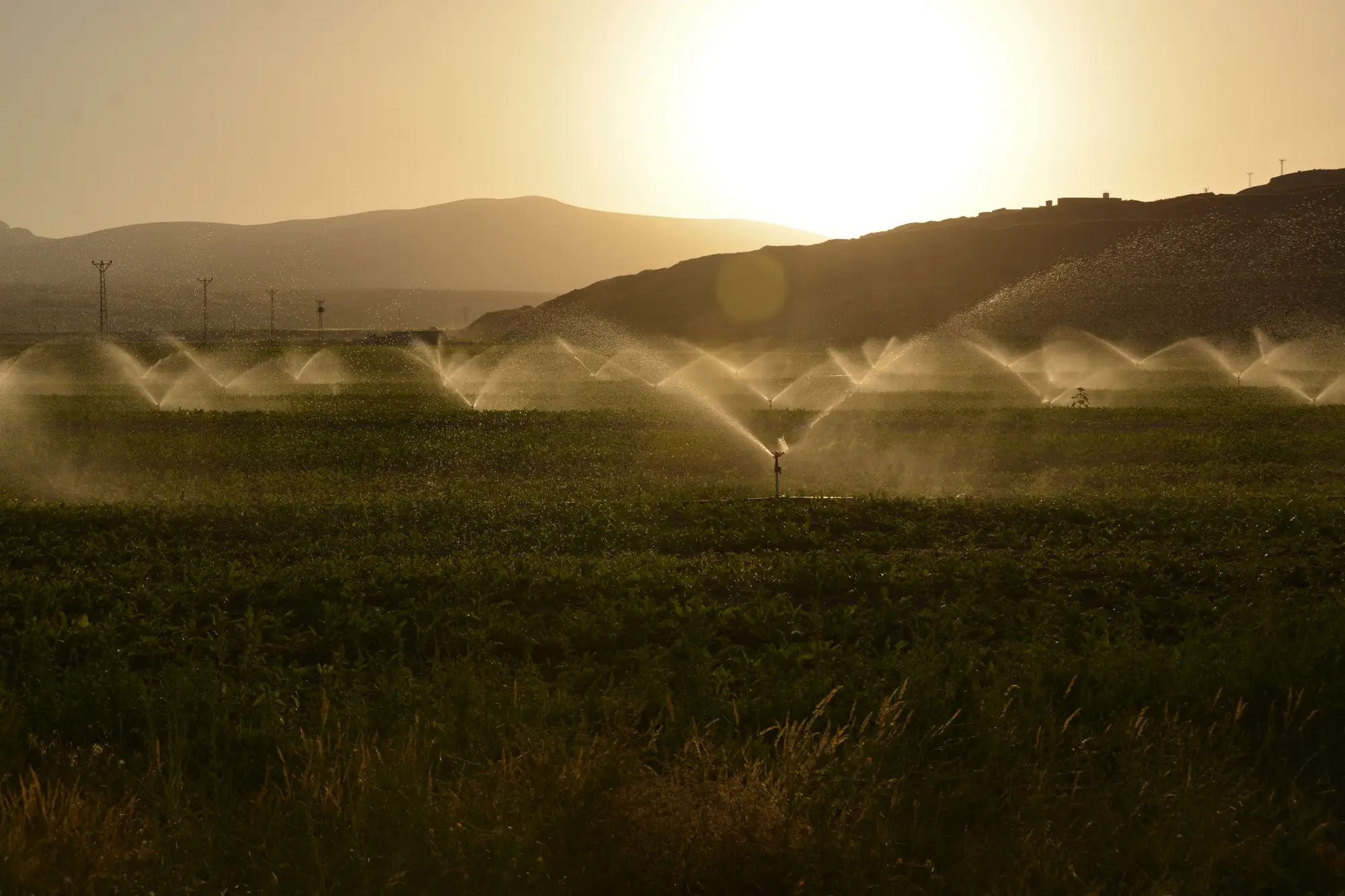
Most out-of-season irrigation doesn't get caught by a meter. It gets caught by a neighbor who notices a field is green in November when it has no business being green, and calls it in. By the time that complaint reaches your desk, the water's already been applied and the growing season's moved on. Imagery is the only record you have that doesn't depend on someone noticing and picking up the phone.
The trick is knowing what to look for and when, because a satellite pass by itself doesn't tell you anything is wrong. It just shows you a field. You need the permit's dates next to it.
Start with the allotment window, not the pixel
Every license has a diversion period written into it, even if nobody calls it that day to day: April 1 through September 30, say, or whatever the basin's seasonal schedule sets for that use class. That's the allotment window. It's your baseline, not the imagery.
Pull the window for the parcel first. Then look at what the imagery shows for that parcel across the full year, not just during the licensed months. A lot of compliance staff only pull imagery for the active season because that's when complaints come in, and that habit is exactly how shoulder-season and winter diversions get missed. The violation you're hunting for lives in the months nobody's checking.
Reading the seasonal signature
A parcel that's irrigated on schedule has a shape to it: moisture and greenness rise with planting, hold through the growing months, drop off at harvest, then go flat and dry until the next season starts. That flat stretch is what bare, unirrigated ground looks like on a wide-swath pass regardless of cloud cover, because you're reading surface wetness, not just crop color.
What you're looking for is a break in that flat stretch. A spike in late October on a field licensed April through September. A parcel that stays wet through a declared drought curtailment when every field around it in the same district has gone dry on schedule. A field that greens up early, weeks before the window opens, which usually means pre-season watering that was never supposed to happen.
None of those on their own prove a violation. A wet signal outside the window could be rainfall, a leak, residual soil moisture from a late harvest irrigation, or a legitimate early-season permit you don't have logged correctly. This is a screening step: it tells you where to point a field visit, and the enforcement letter still needs its own evidence from that visit.
Why basin-wide averages hide this
Basin-level greenness trends and district totals bury an out-of-window diversion on forty acres in the noise of ten thousand acres doing everything correctly. A parcel-level read, matched against that specific parcel's license and its own dates, is what surfaces a flag like that instead of letting it wash out in the district average.
That's the gap a seasonal irrigated-area layer is built to close: a per-parcel read against each parcel's own licensed dates, so a field showing activity in a month it shouldn't produces a flag instead of getting averaged away. Irrigated Area Mapping runs that comparison as a seasonal pass against the basin's allotment windows and hands back a flag list, the parcels worth a visit, not a verdict on every one of them.
What a flag gets you
A seasonal irrigation flag means the imagery shows activity outside the window on that specific parcel, that specific season. It doesn't mean the volume exceeded the license, and it isn't a metered record you can put in a compliance file on its own. What it does is turn "check the whole basin" into "check these forty parcels," which is the difference between a field season that's possible to run and one that isn't.
If you're trying to get a watch list down from the whole basin to the parcels that actually need a truck roll, that's the problem this is built to solve.