2 November 2026
Canal-fed vs. groundwater: reading the difference in satellite imagery
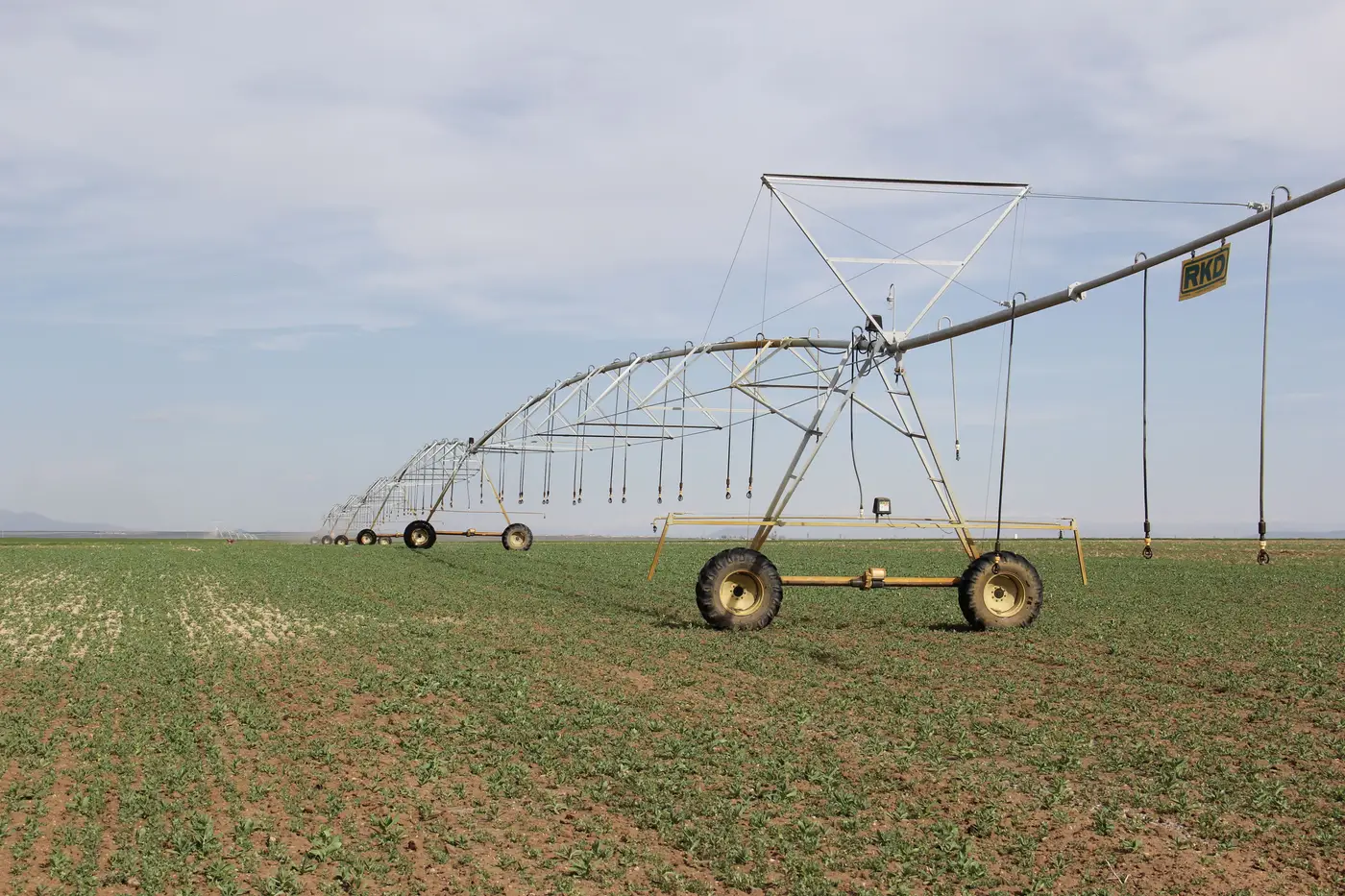
A parcel showing green in July doesn't tell you what watered it. Before you drive out on a tip or schedule a visit off a seasonal layer, it helps to know what surface diversion looks like from above versus what a groundwater well leaves behind. The two sources write different signatures onto a field, and once you know what to look for, you can usually tell them apart without ground-truthing every parcel.
The canal-fed signature
Canal water moves on a schedule set by the ditch rider, not by the farmer alone. That shows up in the imagery as a kind of synchrony: parcels fed off the same lateral green up and dry down together, within a few days of each other, because they're all drawing on the same delivery window. Field shapes tend to follow the canal grid: rectangular blocks or boundaries that trace the contour of the lateral, since gravity flow runs off a head gate and a slope.
Look along the lateral itself. You'll often see a faint green fringe tracking the ditch line even on parcels that aren't fully irrigated that week, just seepage and tail water finding the lowest ground. And because canal deliveries usually run on a rotation tied to water rights seniority, you'll frequently see a visible stagger from head to tail of the system: parcels near the diversion point green up first, parcels near the end of the lateral lag behind, sometimes by a full delivery cycle. That lag pattern alone is a tell that you're looking at a canal command area and not a set of independent wells.
Timing matters too. Canal-fed fields tend to go quiet when the district cuts deliveries for maintenance or when the irrigation season officially ends. If a parcel keeps showing active moisture signal well past the system's posted shut-off date, that's worth a second look, because it means something other than the canal is keeping it wet.
The groundwater pumping tell
Groundwater doesn't run on anyone's rotation schedule. A well owner pumps when the crop needs water, full stop, which means timing on a groundwater parcel often doesn't line up with neighboring canal-fed fields at all. You'll see irrigation activity start earlier in the season, run later into the fall, or show up during a week when the district has no scheduled deliveries. That independence from the canal calendar is itself a signature.
The classic shape tell is the center pivot: a circle, sometimes with dry corners where the pivot arm doesn't reach the square field boundary. Even on fields irrigated by other methods, like flood or drip off a well, you can often spot a single point source feeding the field rather than a lateral running along one edge. There's no stagger across neighboring parcels either. A groundwater field greens up on its own timeline, independent of what the parcel next door is doing, because there's no shared infrastructure dictating when the water shows up.
Soil moisture response is another clue. Canal deliveries tend to show a saturation pulse, a sharp wet signal right after a delivery that tapers over several days until the next rotation. Groundwater pumping, especially on a pivot running a steady cycle, tends to show a flatter, more continuous moisture signal because the system can run more frequently in smaller doses.
None of these tells are absolute on their own. A parcel can have both a canal turnout and a backup well, and plenty of districts run flexible schedules that blur the stagger pattern. What's reliable is reading several of these signals together against what you already know about the system: the canal order, the licensed source on file for that parcel, and the posted delivery calendar. When the seasonal pattern on the ground doesn't match the source listed on the permit, that mismatch is the thing worth flagging.
That's the screening question Irrigated Area Mapping is built to answer. It reads a seasonal wide-swath pass against your basin's licensed volumes and allotment windows, then hands you a flag list of parcels showing activity outside what their license allows, so you know which gates to check before you leave the office. If you're trying to narrow a compliance list down from the whole basin to the handful of parcels that actually need eyes on them, that's the layer to start from.