26 October 2026
What counts as irrigation activity in a seasonal satellite pass?
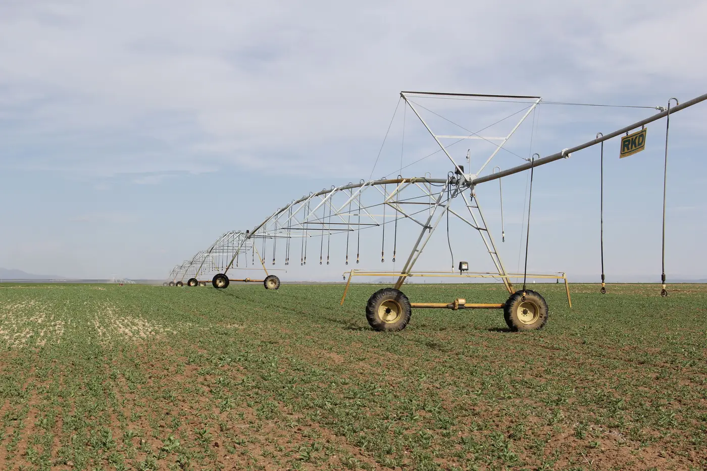
When a flag list lands on your desk showing "irrigation activity detected outside licensed window," the first question worth asking is what that phrase means. A satellite reads reflected light off a parcel every few days to weeks, depending on the pass schedule, and picks up shifts in how green, wet, or leafy the ground looks compared to its own baseline. That reflectance pattern is the signal: an inferred read of ground condition, built from how the parcel's canopy and moisture compare over time, standing in for a direct count of water leaving a pivot or a gated pipe. Knowing what that inference rests on matters before you drive out to a parcel.
What the pass picks up
A wide-swath seasonal pass tracks changes in surface reflectance across a basin at regular intervals through the growing season. In practice, it tracks how green, how wet, and how structurally full a parcel looks compared to its own baseline and to the dry surroundings around it. A field that was bare dirt in April and shows dense canopy by June produced a signal. A field that stayed brown through the same window did not.
That greenup and moisture signature is what gets labeled a "satellite-detected irrigation signal." It stands in for water applied, inferred from how the ground responded rather than metered at the source. Rain can produce the same greenup. So can a crop that's dryland-farmed and had a wet spring. So can a parcel bordering an irrigated one, where the sensor's pixel picks up a mix of both. This is why the output is framed as a screening layer and not a metered volume record: it shows where the ground responded like an irrigated field responds, and roughly when in the season that happened, without counting acre-feet.
What doesn't count as irrigation activity
A single green pixel on one pass date only becomes irrigation activity once the greenness holds across several consecutive passes, the plateau that applied water produces rather than the spike-and-fade that follows a single storm. A few things commonly get mistaken for that plateau and shouldn't be read as confirmed irrigation on their own:
- A brief greenup right after a basin-wide rain event, especially on a parcel with no history of irrigation infrastructure.
- A parcel downhill from a canal or ditch, showing moisture from seepage rather than applied water.
- Native riparian vegetation along a channel edge that stays green all season regardless of licensing.
- Timing noise from the pass itself: if the revisit interval leaves a gap over the week a field was actually watered, the layer may show the response a pass or two later than it happened, which matters when you're checking it against a tight allotment window.
These are expected limits of the method, built into how a seasonal irrigated-area layer works. The layer is built to flag where the response pattern matches irrigated activity, leaving the ruling on cause to someone who knows the parcel's history. Confirming whether that cause is rain, seepage, or an actual diversion still takes a person who can walk the parcel or pull the file.
How a seasonal layer differs from a single image
A single satellite image of a basin tells you almost nothing about irrigation by itself. Vegetation looks the same whether it's rain-fed or pumped on the day the shutter happens to fire. A seasonal irrigated-area layer is built from the full run of passes across the season, stitched into a per-parcel record of when the land greened up, how long that held, and whether the pattern lines up with the licensed allotment window for that parcel. That season-long view is what separates a genuine irrigation signal from a wet week after a thunderstorm.
For a compliance officer, that distinction is the whole point: a seasonal layer narrows the few hundred green parcels in a basin down to the handful that greened up outside the window they're licensed for, so a site visit goes to the right gate instead of the whole district. That's the narrower, more useful question a seasonal pass can answer, and it's the one Irrigated Area Mapping is built around.
If your flag list keeps turning into a guessing game about what the satellite caught, it might be worth seeing what a season's worth of passes looks like for your basin.