13 October 2026
What counts as the irrigation season under a water sharing plan
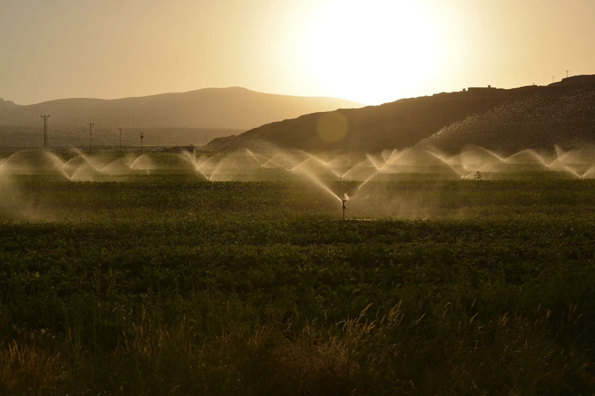
Ask three irrigators in the same basin when "the season" starts and you'll get three different answers, and all three can be correct. The irrigation season is the window written into the water sharing plan for that licence class, and it's the baseline everything else gets measured against: allocation announcements, extraction limits, and whether a parcel showing water activity in February sits inside its allotment or outside it.
Where the dates actually come from
Most water sharing plans anchor the season to one of three things, sometimes a blend of all three:
- Fixed calendar dates. A plan might simply state the season runs 1 October to 30 April, regardless of what the weather is doing. Simple to administer, but it doesn't flex for an early break or a late wet spell.
- Flow or storage triggers. Some plans tie the opening of the season to a gauge height, a dam storage percentage, or a cumulative inflow threshold. The season "opens" when the trigger is met and closes when it drops back below it, which means the dates move every year.
- Licence class and crop type. A general security licence and a supplementary licence in the same reach can run on different windows entirely, and annual versus perennial crops are sometimes carved out with their own start and end provisions in the same plan.
A plan can layer these. The default dates might be fixed, with a clause letting the regulator extend or shorten the window by notice if conditions warrant it. If you're relying on the headline dates from memory rather than the current notice, you're working off last year's season.
Why the boundary matters more than the middle
Nobody calls a compliance officer about water used in the middle of the licensed window. The dispute, the flag, the field visit all cluster around the edges: water drawn in the two or three weeks before the season technically opened, or a parcel still showing draw activity after the closing date has passed. That's the zone where "I thought the season ran to the end of the month" turns into an actual breach finding, or into a false flag that wastes a visit on a licence holder who was fully within their rights.
This is also where the definition gets contested. A landholder might point to soil moisture or a neighboring reach's dates and argue the plan's written window doesn't reflect what was actually happening on the ground that year. The plan's text wins that argument, but you need to know what the plan's text says for that specific licence class in that specific year, not a general sense of "irrigation season" carried over from the plan before the last amendment.
Season dates versus what the parcel actually did
Knowing the licensed window is the easy half. The harder half is knowing which parcels were irrigated, and roughly when, across a basin with thousands of licensed areas and a handful of field staff. Checking every parcel against every season boundary by hand doesn't scale, and it's the reason most basins end up visiting the same handful of flagged properties every year while the rest of the basin goes unchecked.
That's the gap Irrigated Area Mapping is built to close: a seasonal irrigated-area layer per parcel, reading a wide-swath pass against the basin's licensed volumes and windows, with a flag list of parcels showing irrigation activity outside their allotment window. It's a screening layer for targeting a visit, built to sit against the season dates already written into your plan rather than reinvent them.
If you're trying to work out which parcels are worth a look before the next field run, that's exactly the gap this tool is built to fill.