9 November 2026
What a decree caps: acreage, not just volume
A decree is the court or administrative order that settled a water right in adjudication. It names the priority date, the point of diversion, the place of use, and the amount of water. Most compliance staff know all that cold. What gets skimmed past is the acreage figure sitting in the same paragraph, the one that says this right serves no more than, say, 160 acres under the described ditch.
That number sets the boundary of the right, the acreage a diversion was built to serve, regardless of what the flow rate alone suggests.
Why acreage, and not just a flow rate, is the limit
A decree could have capped diversion in cubic feet per second and left it there. Most old decrees don't, because acreage was the practical way to measure beneficial use at the time of adjudication. The court looked at what was being irrigated, under that ditch, in that year or that averaged period, and wrote the acreage into the order as the ceiling on the right.
The flow rate and the acreage work together. A right decreed for 2.5 cfs to irrigate 160 acres assumes roughly one miner's inch per acre, or whatever duty-of-water standard the basin used. Expand the acreage without a change-of-use proceeding and you are not just irrigating more land. You are drawing more water than the decree contemplated, even if your headgate measurement looks unremarkable on any given day.
This is the part that trips people up in the field. A parcel can look fine on a single diversion reading and still be out of compliance on acreage, because the violation is in the footprint, not the instantaneous flow.
How the acreage cap gets exceeded in practice
Three patterns show up again and again in basins with older adjudications:
A water right holder picks up an adjoining parcel and starts running the same ditch across both, without filing a change of place of use. The decreed acreage stays on paper; the irrigated footprint on the ground grows.
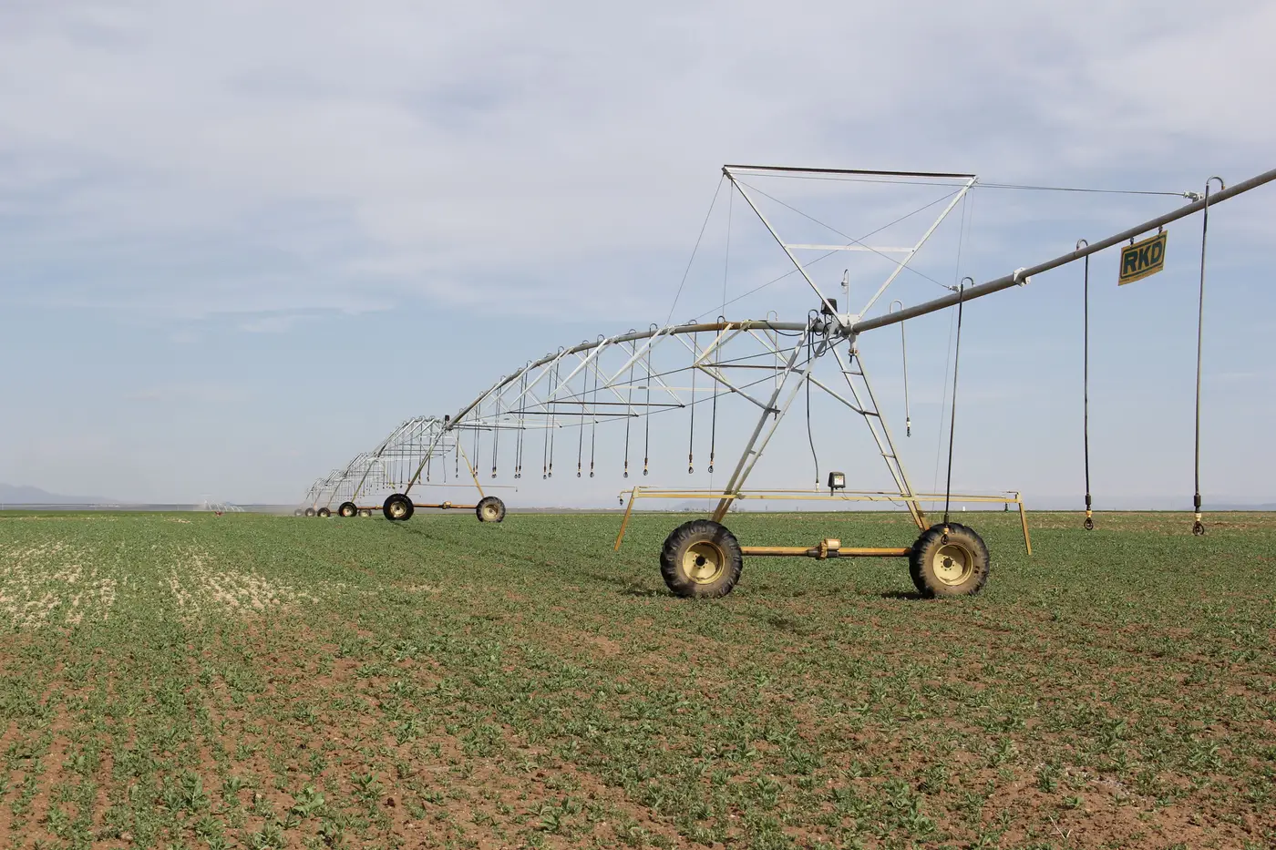
A center pivot gets retrofitted or a field gets re-leveled, and the irrigated circle now reaches corners of the parcel that were dryland under the original decree.
A right appurtenant to a specific tract gets informally shared with a neighbor during a wet year, covering acreage the decree never named.
None of these require bad faith. A lot of them are just a farm operation growing the way farm operations grow, without anyone circling back to update the paperwork. But the decree doesn't care about intent. It caps the acreage, and anything beyond that line is outside the right as adjudicated, whatever the reason.
Why this matters for targeting a visit
A basin with a few thousand decreed rights is not a basin you can field-check parcel by parcel every season. The acreage cap gives you a specific, checkable number to compare against, which is more useful than it sounds, because most of what you need to flag isn't "is this parcel irrigated," it's "is this parcel irrigated beyond what its decree allows, or outside the window its decree specifies."
That comparison needs two things: the decreed acreage on file, and a reliable read on what acreage was watered that season. The first one sits in your records already. The second is the part that's hard to get basin-wide without sending staff out, which is the gap a seasonal remote-sensing pass is built to close. Irrigated Area Mapping reads a wide-swath seasonal pass, works out which parcels show irrigation activity and roughly when, and sets that against the licensed allotment window so you get a flag list of parcels worth a visit instead of a blank map of the whole basin.
A decree's acreage line is easy to overlook next to the flow-rate figure everyone quotes from memory. It's worth pulling back up before the next compliance cycle, because it's often the number doing the real limiting.
If you're trying to turn that acreage cap into a target list for this season, that's the use case this site is built around.