9 November 2026
Place of use vs. point of diversion: what the permit controls
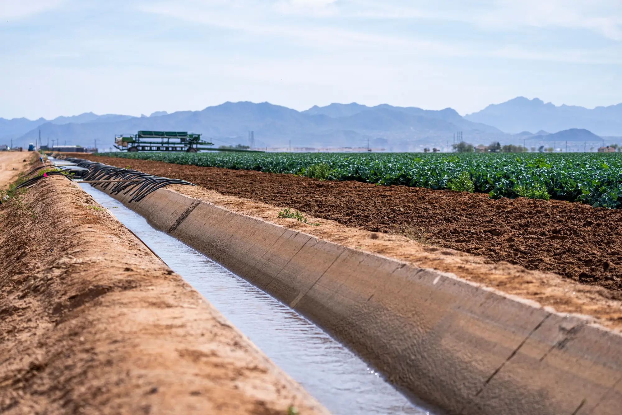
If you've spent any time reading permit files, you already know the two terms get used almost interchangeably by people who should know better. A point of diversion and a place of use are not the same thing, and mixing them up is how a compliance case gets built on the wrong theory. Here's the distinction as it actually plays out on a permit and in the field.
Point of diversion: where the water leaves the source
The point of diversion is the physical spot where water leaves the source and enters a ditch, pipeline, or pump intake. On most permits it's a headgate, a diversion dam, or a pump location, pinned down by legal description or coordinates and tied to a specific structure you can walk up to and photograph. It's a single location (or a short list of authorized locations for a permit with multiple works) and it doesn't move without a formal change application, because moving it can affect every other right holder upstream or downstream of the old spot.
Think of the point of diversion as the answer to "where does this right take water from the river."
Place of use: where the water lands
The place of use is the land the water is put to beneficial use on, usually described by legal subdivision, parcel number, or an attached plat, often with an acreage cap. A single permit can have a place of use that's one quarter-section or a scatter of parcels across a few miles, depending on how the right was decreed and whether it's been amended since.
The place of use is the answer to "where does this right let water land."
Those two things are recorded on the same document but they answer different questions, and a permit holder can be clean on one and off on the other at the same time. Water pulled at the correct headgate, in the correct amount, applied to a field three parcels over from the one listed on the decree, is a place-of-use problem. An unlisted pump installed upstream of the permitted headgate, even if it's only irrigating the correct acreage, is a point-of-diversion problem. They get cited differently, they get remedied differently, and a case built on the wrong one won't hold up at a hearing.
Why the gap between the two keeps showing up
A lot of this traces back to how old the paper is. Permits written decades ago describe a place of use in terms that made sense at the time: a section number, an old plat, a handshake boundary nobody surveyed since. Parcels get split, leased out, consolidated under new ownership, and the decree never catches up. A pivot creeps a few rows onto the neighbor's ground over a couple of seasons and nobody files anything. None of that shows up at the point of diversion, because the headgate hasn't moved. It only shows up in the footprint of what got watered that year, against the parcels the paper says are allowed to get watered.
That's the piece most offices can't check at scale. Confirming a point of diversion is a site visit to one structure. Confirming a place of use means knowing which parcels across a basin were irrigated in a given season and lining that up against every decree's described boundary, which is a lot of acreage to cover on foot or from a truck.
That's the gap a seasonal view of basin-wide irrigation is built to close, pulling a wide-swath pass over the growing season and flagging which parcels show irrigation activity outside what their permit describes, so the screening layer at Irrigated Area Mapping can point a compliance visit at the right parcel instead of the right ditch.
If your backlog is full of place-of-use questions you can't resolve from the office, that's worth a look.